
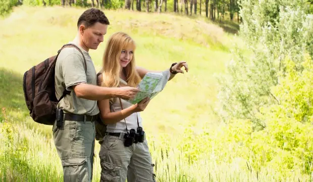
A GPS system has become the go-to map for most adventurers. After typing in your address, you can sit back, roll the windows down, and watch the scenery as it goes screaming by. However, not all routes are going to have optimal wireless service. Because of this, knowing how to read a map is a valuable skill to have, especially for hikers and campers.
Driving and hiking require different maps, road map for driving and topographic maps for hiking. However, basic map knowledge for the two is relatively similar. Learn how to read a map and never be lost again.
Know the Coordinates
Reading and understanding coordinates is the most important part of learning how to read a map. These will help you determine your location, your destination, and the whereabouts of other people.
On a road map: Coordinates are listed in the index, and tell you the location of cities. Take A,16 for example: once you have the coordinates, you can follow each row (16) and column (A) until they come together; this is where the city is located.
On a topographic map: Coordinates are longitude and latitude. Latitude runs horizontal, and goes from 0 degrees to 90 degrees, North and South—North Pole being 90 degrees north, and South Pole being 90 degrees south. Latitude is often the first number expressed when sharing coordinates. Longitude runs perpendicular to latitude lines.
Before leaving to drive or hike, find your current location and destination, first.
Choose Your Route
The beauty of using a road map instead of a GPS system is the ability to choose your route. If you'd like to drive the scenic route, you can use symbols to determine which route meets your needs. When learning how to read a map, remember to use general knowledge, as well: an interstate route is going to be the fastest, whereas a state road will be slower and more scenic.
When hiking, you can determine your route based on the contours, or lines, of the topographic map. For example, lines closer together represent a steeper area of the route and V-shaped lines express valleys. Use this to determine how easy or hard you want your hike to be. Most hikes already have the trails well marked, in which case a map will be for emergencies.
Locate and Learn the Legend
For both kinds of map, the legend is a small box, on the front or back, where the symbols and scale are located. This will help you locate important points and determine your travel time.
- Symbols: These often represent a landmark such as picnic area, rest stop, state park, body of water or hospital. If anything, having landmarks will make the process of map reading and navigating easier.
- Scale: In order to determine your ETA you have to calculate distance via the map's scale. Use your finger or piece of paper to plot this on your map. For example, if the scale reads "1 inch=25 miles" you mark the 1 inch on your piece of paper, and move it along the map to calculate total distance.
Match Your Compasses
You will also find a compass on the map, also referred to as the compass rose. Most maps are created with North at the top. Use this, along with your real compass, to determine which direction you're facing and which direction you should be moving.
Outside of learning how to read a map, you should always carry a compass, even if you know East from West. If you become disoriented you'll need the extra help.
Map reading is not only important as an adventurer's skill, but is necessary in case of an emergency. If you get lost on a hiking trail, or lose service driving to a remote location, a map is your last resort. Brush up on your skills, and learn how to read a map before your next camping trip or trek through the mountains.
Related Articles:
 Book your next camping trip
